Barton Springs Closes on Bacteria Counts, and the Salamander Is Still Listed
Barton Springs Pool shuts without drama — a sign goes up, the gates stay closed, and the water stays in the pool — but the numbers behind each closure trace a fault line that runs from Austin's streets through limestone and into a federal endangered-species listing that is now nearly three decades old.
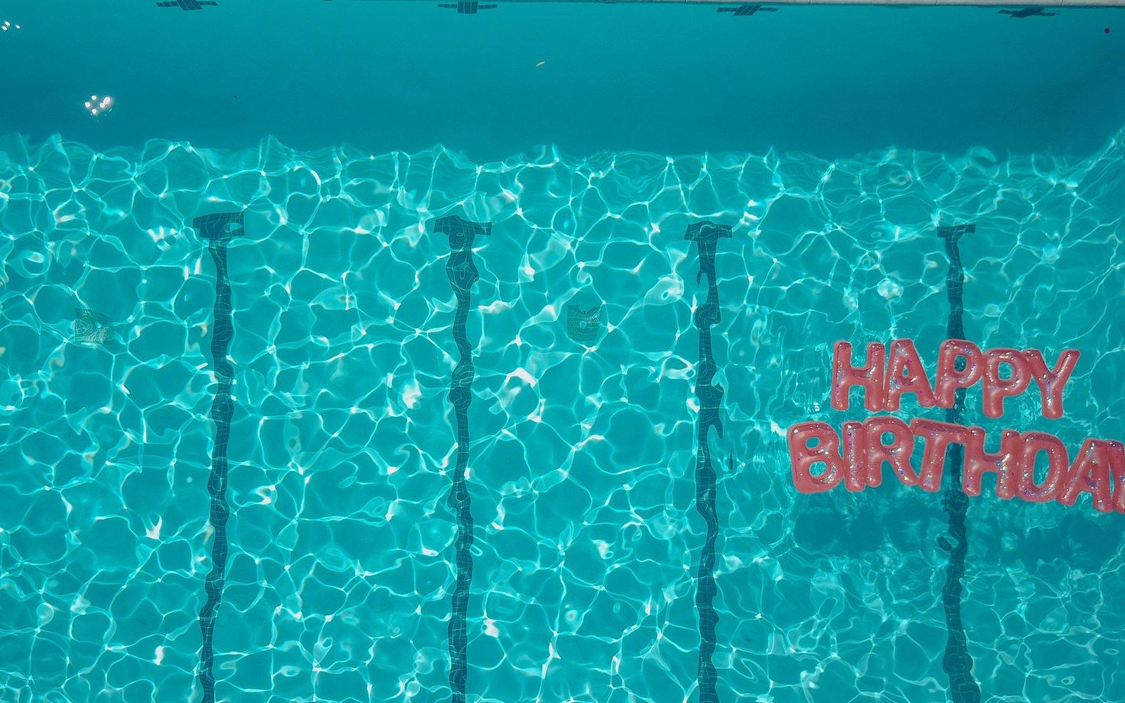
Closure notices follow the bacteria counts, which follow the rain.
Photo: Kindel Media / Pexels
When the Pool Closes
The City of Austin closes Barton Springs Pool when E. coli counts exceed 394 colony-forming units per 100 milliliters, the Texas Commission on Environmental Quality threshold for contact recreation. Closures are measured in days, not hours, and have grown more frequent as impervious cover upstream has expanded. Storm runoff is the primary trigger: rain washes bacteria from parking lots, roads, and construction sites into Barton Creek, which feeds the pool directly. A heavy rain event can spike counts above 1,000 CFU per 100 mL and keep the pool closed for several days as the creek flushes through.
The Save Our Springs ordinance — passed by Austin voters in 1992 after a development fight over the Barton Creek watershed — set limits on impervious cover within the contributing zone, the roughly 125-square-mile area of upland terrain that drains toward the pool. The ordinance capped impervious cover at 15 to 25 percent depending on the subzone, and it remains the primary land-use check over the recharge zone west and southwest of the city. Developers have challenged it repeatedly; it has survived. What it cannot do is govern land outside its jurisdictional reach, and the watershed extends into areas where Hays County rules apply and Austin's ordinance does not.
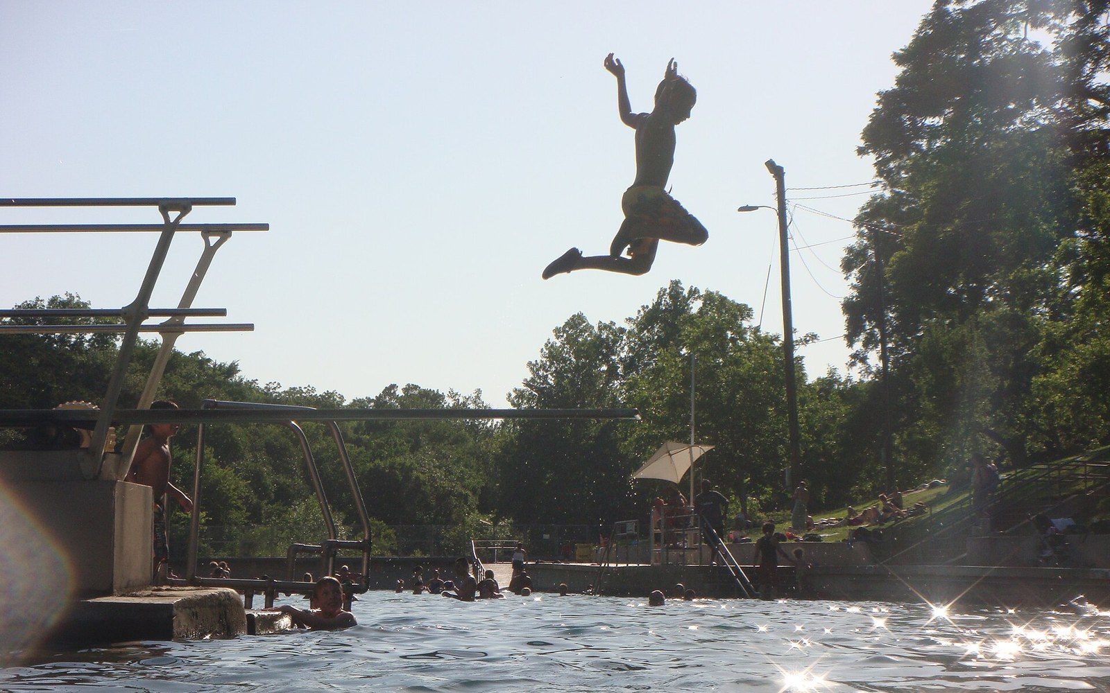
The pool sits over the Edwards Aquifer, which is why a rainfall event closes it.
Photo: Barton Springs- Austin, Texas · Wikimedia Commons
Storage measured against the ten-year average, visible without a gauge.
Photo: Martine L / Pexels
The Aquifer Below
The physical relationship between the pool and the salamander is not metaphorical — it is hydraulic. Barton Springs Pool is fed by four natural springs that discharge from the Edwards Aquifer, the karst limestone formation underlying a broad arc of Central Texas. Water enters the aquifer through the Edwards Aquifer recharge zone, the fractured limestone band along the Balcones Escarpment where surface water sinks through cracks and joints into the system below. The travel time from the surface to the spring is measured in days to weeks depending on rainfall intensity and aquifer pressure.
The Barton Springs salamander — Eurycea sosorum — lives only in this discharge zone. It is federally listed as endangered under the Endangered Species Act, a listing the U.S. Fish and Wildlife Service finalized in 1997 after years of litigation. The salamander is aquifer-dependent through its entire life cycle, never leaving the spring system. It is sensitive to contaminants carried in through the recharge zone: pesticides, petrochemicals, and sediment that enter through the same permeable limestone that the Save Our Springs ordinance was designed to protect. A bacteria spike at the surface is a proxy indicator of the same hydraulic connection that puts the salamander at risk from any contaminant entering the contributing zone.
The listing has not been downgraded. The U.S. Fish and Wildlife Service's most recent species status assessments have kept E. sosorum at endangered, citing continued threats from water quality degradation and drought-driven reductions in spring flow. Austin's drought years — when the Highland Lakes sit below conservation pool and the Edwards Aquifer declines — compress spring discharge and concentrate whatever contaminants are present.
Key thresholds and legal markers
What the Closure Record Reflects
Austin's Parks and Recreation Department posts water-quality readings at Barton Springs in near real time during the swimming season. The closure record over recent years shows a consistent pattern: closures cluster in the spring and early summer, when convective storms are most frequent, and again after any major rainfall event above roughly one inch. That pattern reflects the watershed's fundamental character — thin soils over fast-draining limestone — and no amount of stormwater infrastructure fully interrupts it.
The Save Our Springs ordinance turned thirty-three in 2025. The salamander listing turns twenty-eight. The pool still closes on bacteria counts. The three facts occupy the same sentence because they share the same ground.