The Lakes Sat Low While the City Kept Growing
The bathtub ring around Lake Travis tells the story the growth statistics don't: a city doubling in population against a reservoir that cannot double its watershed.
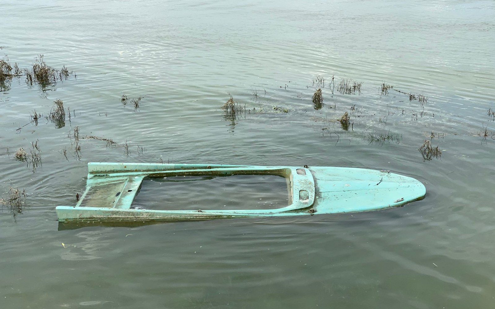
Storage measured against the ten-year average, visible without a gauge.
Photo: Martine L / Pexels
What the Storage Numbers Show
The Highland Lakes — the chain of six reservoirs the Lower Colorado River Authority manages along the Colorado River from Lake Buchanan down to Lake Austin — reached a collective low point in the 2022–23 drought cycle that unsettled water planners even by Central Texas standards. Lake Buchanan and Lake Travis, the two storage reservoirs that do the real work, together hold the vast majority of Highland Lakes capacity. When both sit below conservation pool simultaneously, the LCRA's drought-response protocols move from voluntary to mandatory.
That is what happened through much of 2022 and into 2023. LCRA published storage data showed the combined storage of Buchanan and Travis dropping well below 40 percent of conservation capacity during the summer of 2022, at the same time the Austin metro population was absorbing the tail end of its largest single-year growth surge on record. Conservation pool — the minimum level at which the reservoirs are managed under normal operating rules — is not an abstraction. Below it, the LCRA's Drought Contingency Plan requires mandatory cutbacks for agricultural interruptible customers first, then escalates toward municipal users as levels fall further.
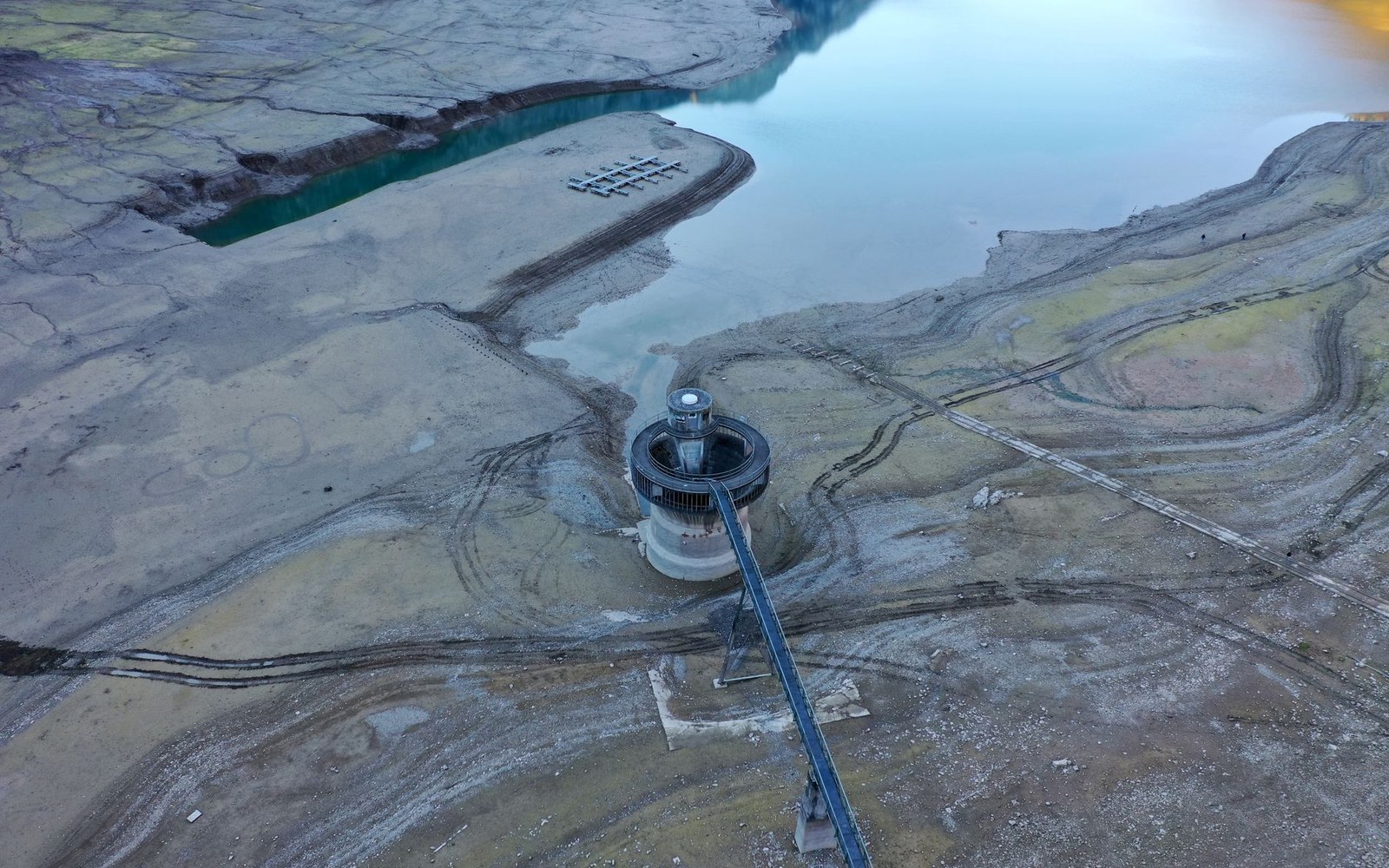
The pale caliche band above the water is the storage record, written on the bank.
Photo: Wendelin Jacober / Pexels

The pool sits over the Edwards Aquifer, which is why a rainfall event closes it.
Photo: Barton Springs- Austin, Texas · Wikimedia Commons
The bathtub ring is the physical record. On Lake Travis especially, the pale limestone band exposed above the waterline through 2022 and 2023 was visible from Mansfield Dam and from the marinas around Bee Cave — a legible, dated mark that the lake had been somewhere else. At its lowest points in that cycle, the ring measured several vertical feet of exposed caliche and granite, color-coded by seasons of drawdown.
The Recovery That Did Not Fully Erase the Record
Winter and spring rains in late 2023 and into 2024 pushed combined Buchanan-Travis storage back above 50 percent and briefly above 60 percent — a recovery, but not a return to the multi-year averages that planners use as a baseline. The LCRA's own 10-year average for combined storage runs considerably higher than the levels the lakes held through most of the drought period, meaning the recovery left the system still running a structural deficit against historical norms when measured across the full cycle.
The Edwards Aquifer, which the Highland Lakes system does not directly recharge but which shares the same rainfall catchment over the Balcones Escarpment, tracked a parallel pattern: below-average recharge years through the drought, modest recovery without full restoration. The two systems — surface storage and aquifer — respond to the same precipitation events and stress under the same drought conditions, which is why water-resource managers treat them together when modeling long-range supply for a metro that the U.S. Census Bureau estimated had grown by roughly 30 percent between 2010 and 2020, with additional growth registered through 2022.
Key numbers
| Combined Buchanan-Travis conservation capacity | the two reservoirs hold the substantial majority of Highland Lakes total storage |
|---|---|
| LCRA drought trigger | combined storage falling below conservation pool activates mandatory cutbacks for interruptible agricultural users |
| Austin metro population growth | approximately 30 percent between 2010 and 2020 (U.S. Census Bureau) |
| Highland Lakes watershed | approximately 38,000 square miles of Central Texas drainage |
The structural tension the drought made visible is straightforward: the watershed that feeds Buchanan and Travis is fixed. It drains approximately 38,000 square miles of Central Texas, and that number does not grow with the city's tax base or its apartment permit count. What grows is demand — municipal, agricultural, industrial — while the recharge events that refill the lakes depend on rainfall patterns that have trended drier across the region over the past decade. The LCRA manages this through tiered drought stages and interruptible contracts, but the management tools are rationing instruments, not supply instruments.
The drought line on the shoreline fades after a wet season. The limestone it exposed does not. Geologists and longtime lake residents treat the stain as a sedimentary record — a ring in a bathtub that shows how low the water went and, implicitly, how long it stayed there while the city on the eastern edge of the watershed kept adding residents, rooftops, and water accounts.