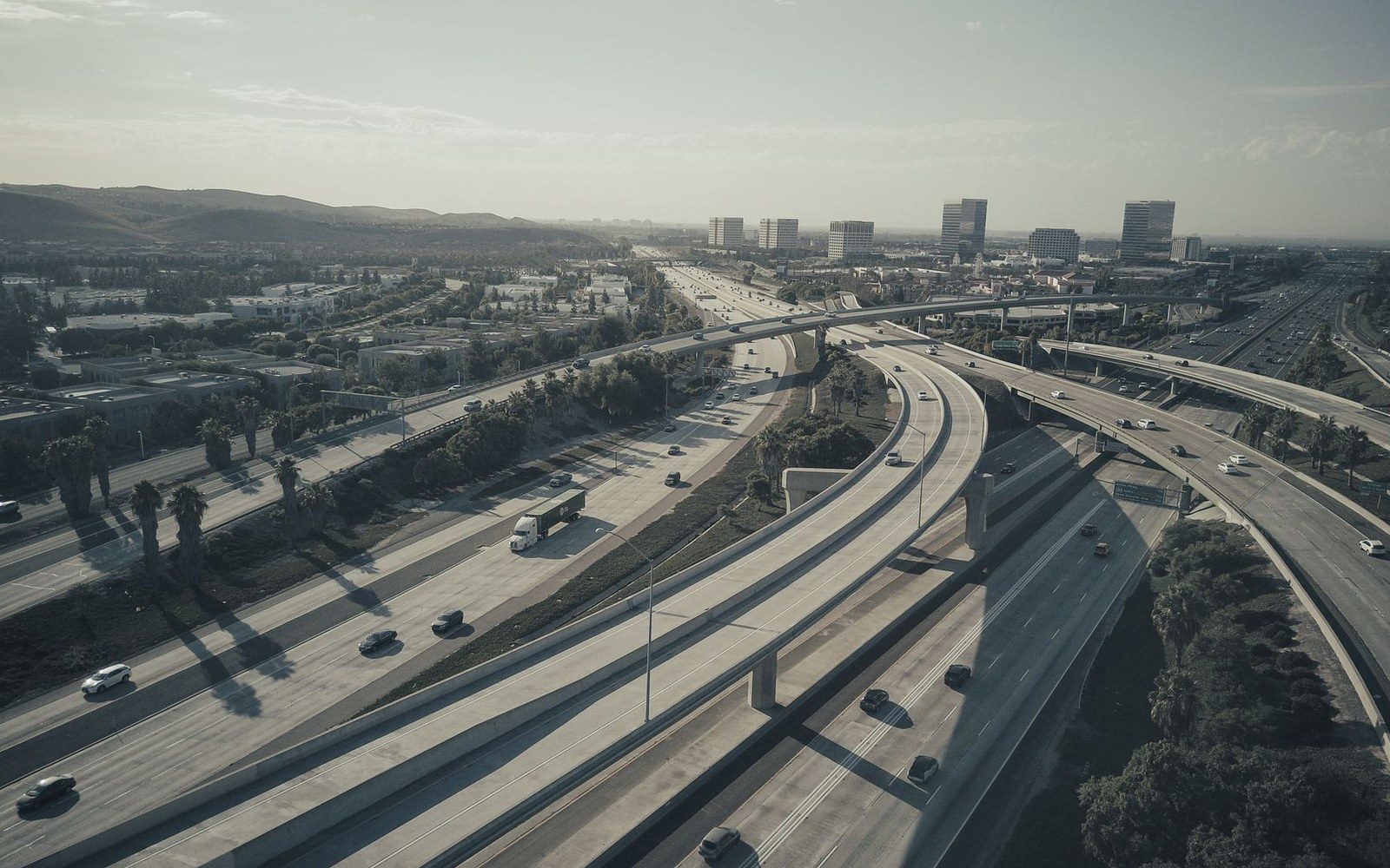
Lead piece
The Cap-and-Stitch Argument Over I-35
A highway redesign that everyone agreed Austin needed, and almost nothing else
Photo: Kindel Media / Pexels
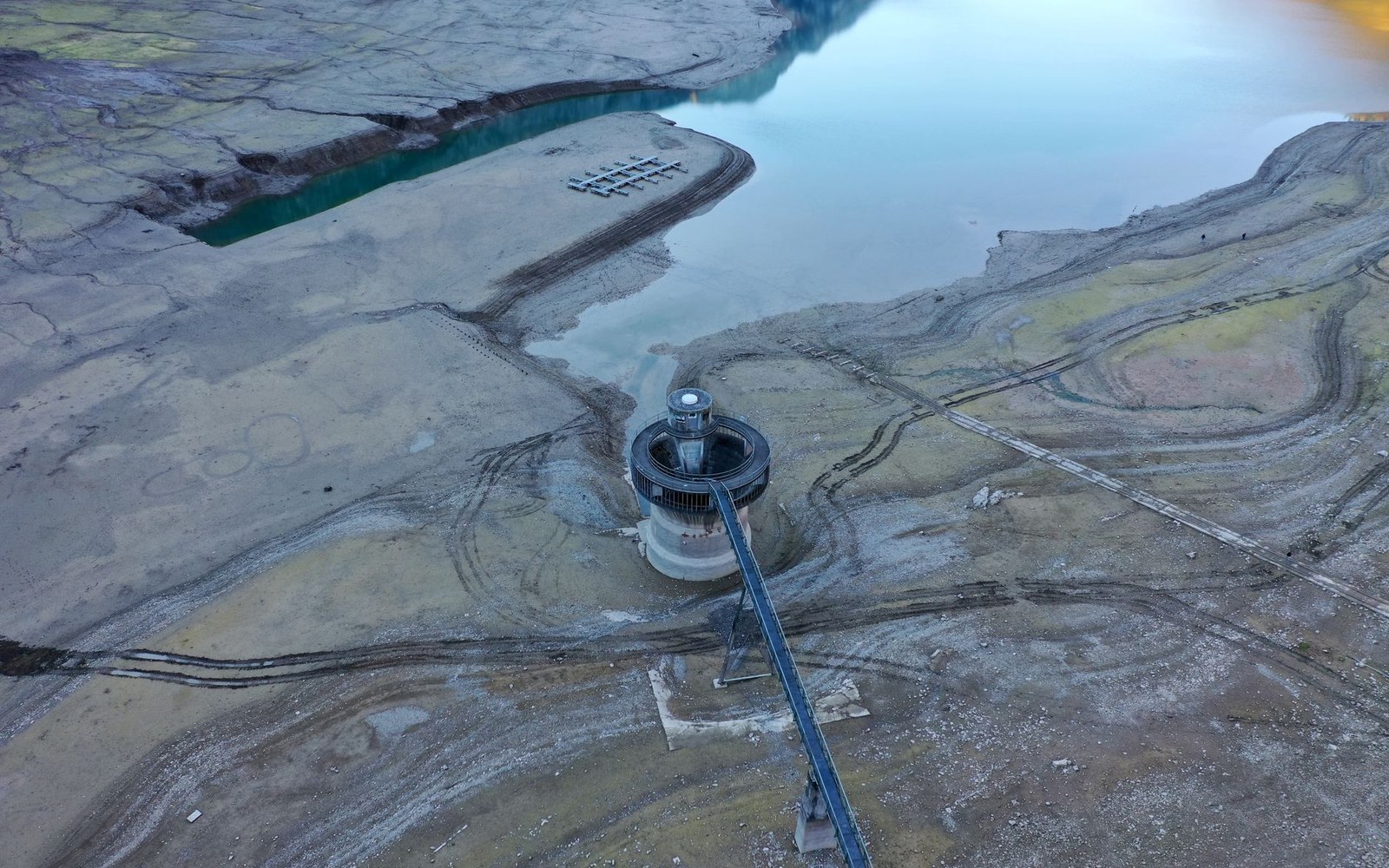
Lake Travis, with the drought ring standing several feet above the water surface.
Photo: Wendelin Jacober / Pexels
What the city voted for, what it is building, and what the water level shows while it builds.
4 pieces in this section · every one with its own photograph
A highway redesign that everyone agreed Austin needed, and almost nothing else
Photo: Kindel Media / Pexels
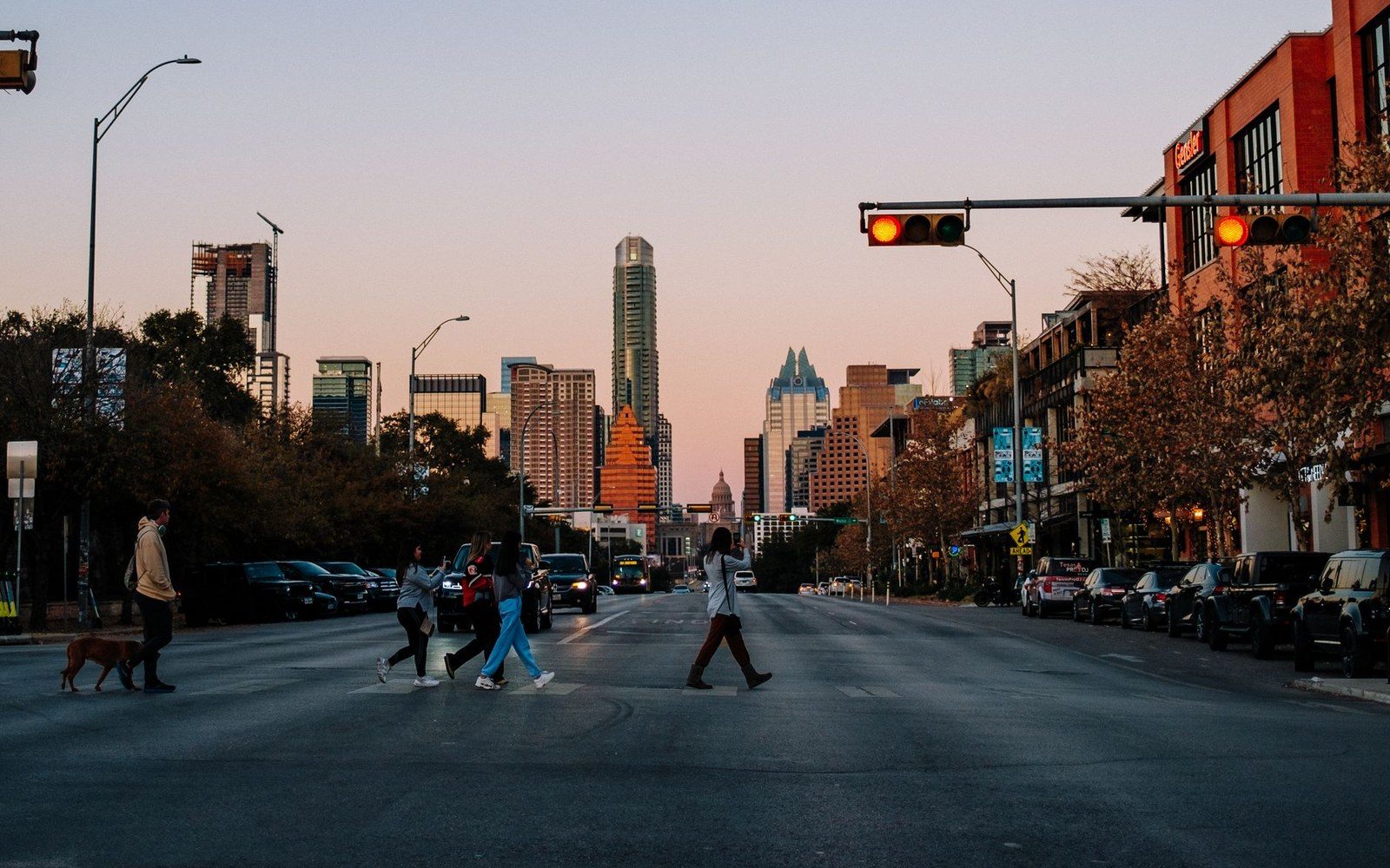
Austin passed Project Connect in 2020 with a strong majority. By 2023, most of it was gone.
The bathtub ring around Lake Travis tells the story the growth statistics don't: a city doubling in population against a reservoir that cannot double its watershed.

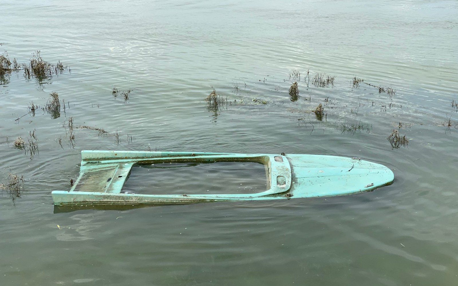
Barton Springs Pool shuts without drama — a sign goes up, the gates stay closed, and the water stays in the pool — but the numbers behind each closure trace a fault line that runs from Austin's streets through limestone and into a federal endangered-species listing that is now nearly three decades old.
Travis County and its neighbours, with the places named across this site: the lake at the top of the water record, the two towns the fab and the pits sit in, and the springs inside the city.
Geometry: project map kit